 By
Tropical Cyclone Xavier intensified from a slow-moving disturbance to a Category 5 storm in a matter of days, damaging homes and cutting power in the northern Cook Islands — and forecasters warn it is likely only the first of several storms this season.
By The BNN Media
The Best News Network
News Beyond the Borders
Nadi, Fiji — Tropical Cyclone Xavier has become the strongest November tropical cyclone ever recorded east of the international date line, reaching peak winds of 220 kilometres per hour (140 miles per hour) as it swept past the northern Cook Islands, in an early and violent start to the South Pacific storm season.
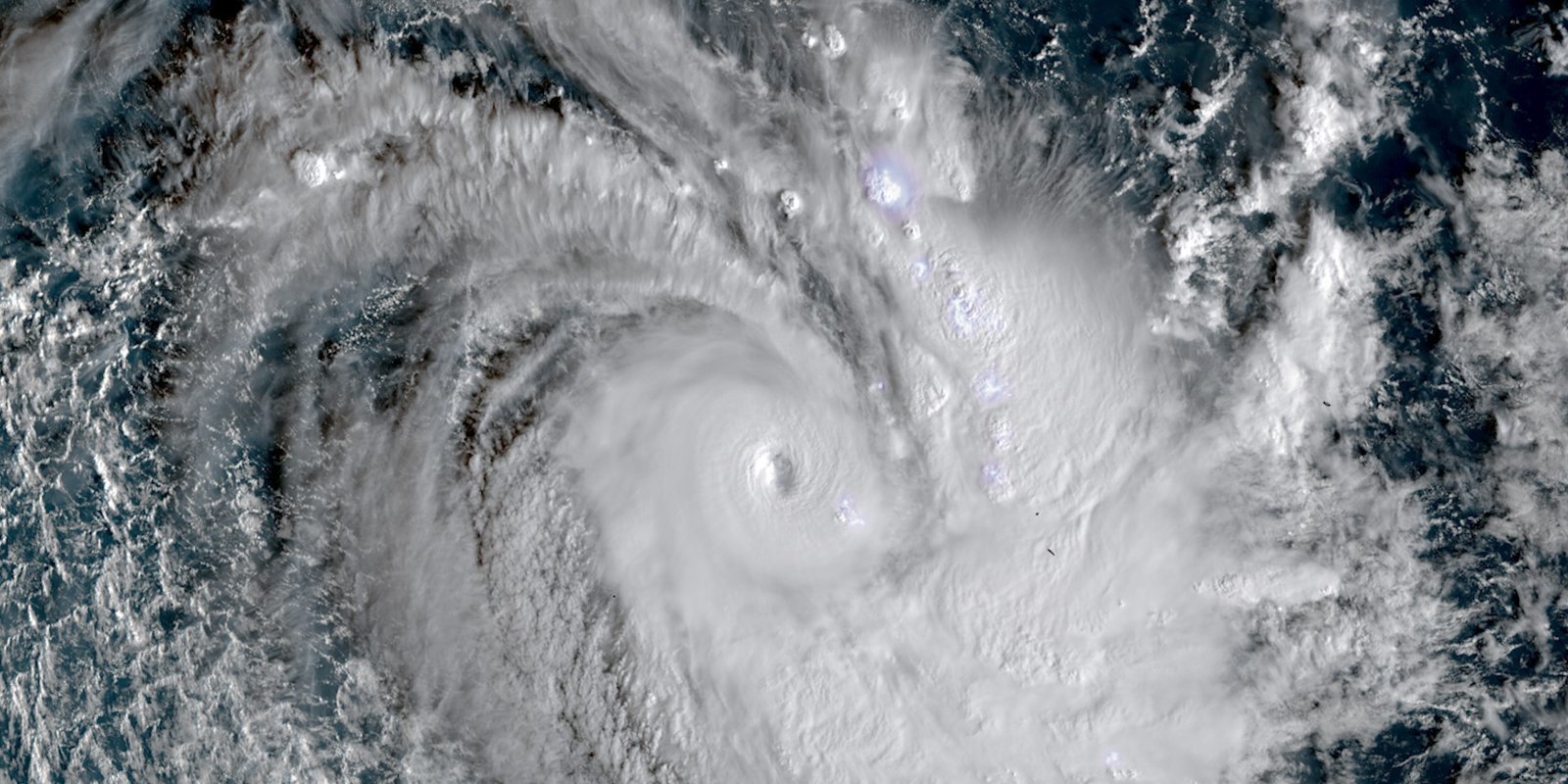
The storm, only the second named system of the season, was captured at near-peak strength by NASA’s Aqua satellite on 17 November 2026. It is the subject of NASA Earth Observatory’s Image of the Day for 20 November 2026 — a measure of how exceptional its rapid strengthening has been.
A Quiet Season Turns Violent
Even as the unusually quiet 2026 storm season winds down in the North Atlantic, the seas on the other side of the world have begun to stir. On 15 November 2026, the Fiji Meteorological Service began issuing updates about a slow-moving tropical disturbance north-east of Samoa and the Cook Islands. Within a few days, it had become one of the most intense November tropical cyclones the region has seen in decades.
Xavier was the basin’s second named storm of the season, following only Wati, a short-lived storm that emerged in October. That slow start made what followed all the more striking: a disturbance that barely moved at first, then strengthened with unusual speed once it found the right conditions.
The storm’s formation east of the date line, near the northern Cook Islands, was itself unusual. Most South Pacific cyclones form further west. But Xavier’s easterly birthplace fits a pattern researchers have identified: in El Niño years, storm activity in the region typically shifts towards the north-east — and an El Niño has been present in the region since June.
Rapid Intensification Over 29-Degree Water
Xavier strengthened rapidly because the ocean and the atmosphere gave it almost everything a tropical cyclone needs. Wind shear — the change in wind speed and direction with height that can tear a developing storm apart — was minimal. And sea surface temperatures beneath the storm were 29 degrees Celsius (84 degrees Fahrenheit), well above the threshold needed to sustain and strengthen a developing tropical cyclone.
When the MODIS instrument on NASA’s Aqua satellite captured its image of the storm at 02:53 Universal Time on 17 November (4:53 p.m. Cook Islands Time on 16 November), forecasters estimated Xavier had maximum winds of about 195 kilometres per hour (120 miles per hour). Winds reached their peak intensity of 220 kilometres per hour later that day — a Category 5 storm on the cyclone intensity scale used in the region, or a Category 4 on the Saffir-Simpson scale used in the Atlantic.
NASA satellite data showed the storm churning along the south-western edge of a massive tongue of warm water stretching from the west coast of South America to the central Pacific — described by NASA as a telltale sign of the El Niño in place since June. Research also shows that El Niño tends to fuel storms that strengthen at an unusually rapid pace, and Xavier followed that pattern exactly.
Warm water, still air and an El Niño behind it: Xavier had the perfect conditions to explode in strength — and it did.
A November Record East of the Date Line
The storm’s peak made history in the record books. According to Colorado State University hurricane expert Phil Klotzbach, Xavier ranks as the strongest November tropical cyclone east of the international date line on record.
The record matters because November is early in the South Pacific season, which typically peaks in February. A storm of this strength arriving in the season’s opening weeks is a warning that the months ahead could be active — and that the records a season sets are not always set at its height.
Damage in the Northern Cook Islands
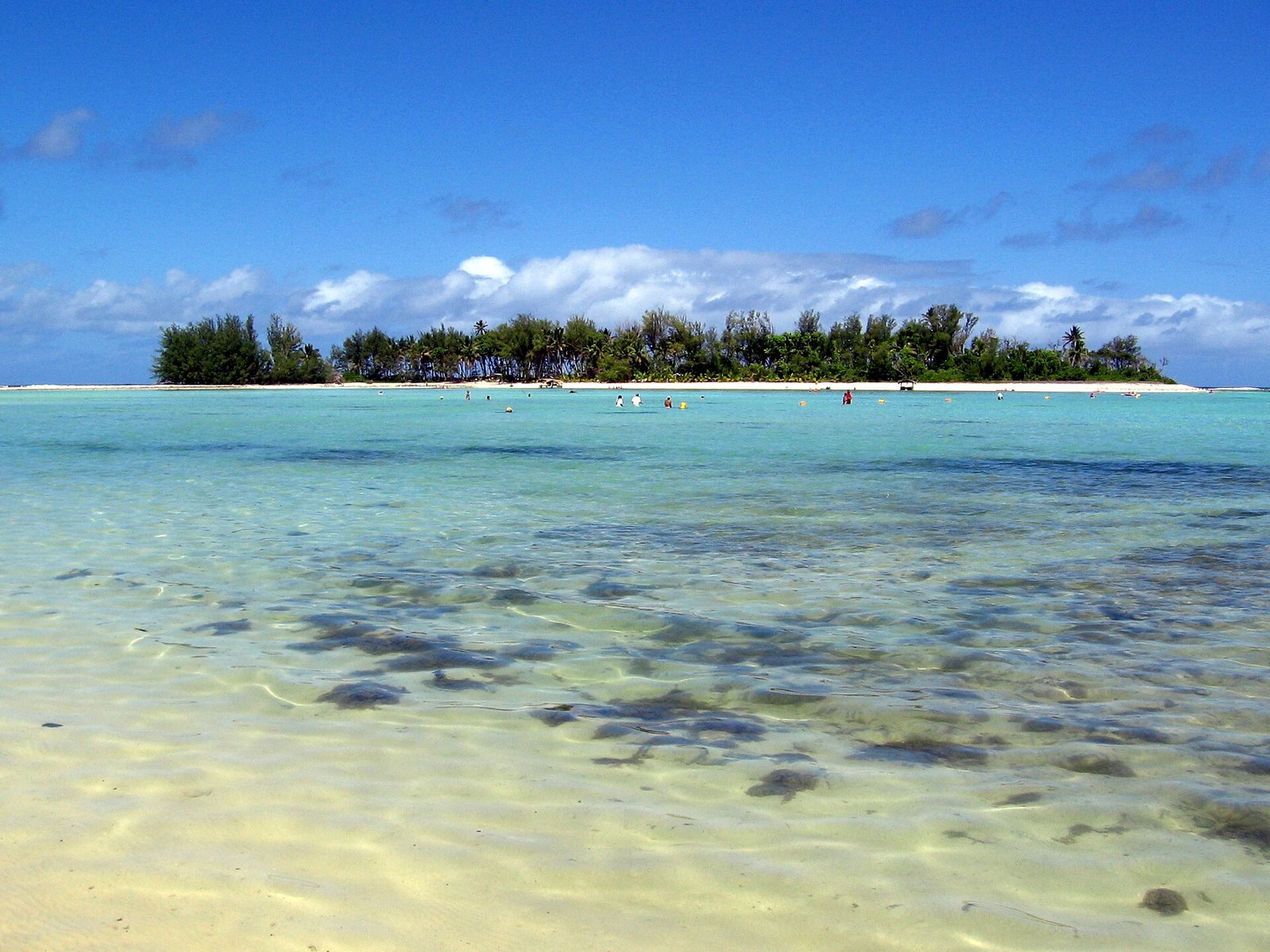
Xavier’s strength was not only a statistic. According to news reports, the storm damaged homes and caused power disruptions as it passed the northern Cook Islands. On Manihiki, one of the low-lying atolls in the storm’s path, residents faced power and food pressures in the storm’s aftermath, according to Pacific news reports published on 19 November.
The northern Cook Islands are among the most exposed communities in the Pacific: small atolls rising only a few metres above sea level, hundreds of kilometres from the nearest large landmass, dependent on shipped supplies and on fragile power and communications links. A storm that damages homes and cuts power there leaves people isolated until help can arrive by sea or air — and that help can take days to reach the most remote atolls.
There was some relief in the storm’s later course. After passing the northern Cook Islands, Xavier encountered dry air and a less favourable wind shear environment and slowly weakened as it pushed westward, reducing the threat it posed to Samoa and American Samoa.
Why El Niño Pushed the Storm East
Xavier’s story is also a story about El Niño. The climate pattern, which has been present in the region since June, warms the central and eastern Pacific and shifts where tropical cyclones form and how strongly they develop.
During El Niño years, research indicates that storm activity in the South Pacific typically shifts north-east — exactly where Xavier formed — and that storms tend to strengthen unusually fast. The massive tongue of warm water NASA’s satellites tracked across the Pacific is the signature of that pattern, and Xavier rode along its edge as it intensified.
The connection is a reminder that a cyclone season is not shaped by the weather of a single week. It is shaped by the slow movement of ocean heat across an entire basin, months before the first storm forms — which is why seasonal forecasters watch El Niño so closely when they issue their outlooks.
What Comes Next: A Busy Season Ahead
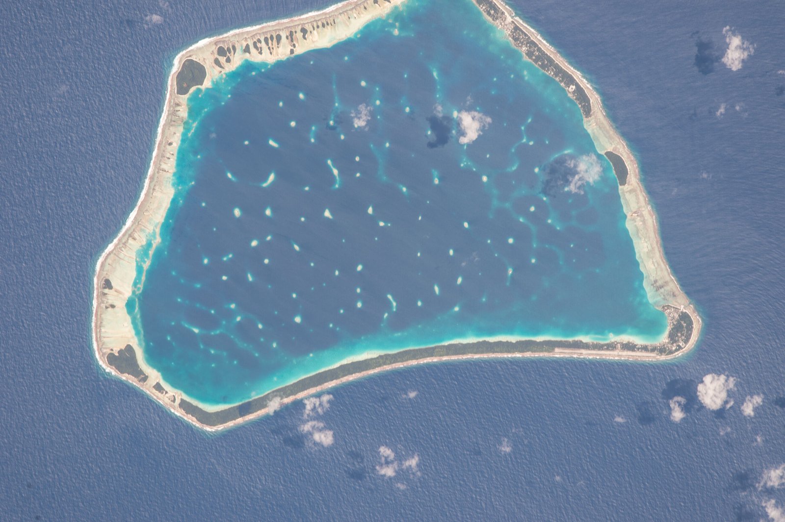
Xavier is likely one of the first of several storms to affect the region in the coming months. A seasonal outlook from the Fiji Meteorological Service projects that the region could see between 11 and 15 named tropical cyclones this season, with the greatest risk east of the international date line. Storm activity in the Southwest Pacific basin typically peaks in February, so the most dangerous months are still ahead.
For the island nations in the storm’s path, the season’s early violence is a prompt to prepare now: securing homes, stocking supplies, checking generators and keeping emergency plans ready before the next system forms. The quiet start to the season — a single short-lived storm in October — offered no protection against what followed.
Xavier set its record in November, months before the season’s usual peak. The South Pacific’s storm season has announced itself — and it has a long way left to run.
By The BNN Media
The Best News Network
News Beyond the Borders
Sources: NASA Earth Observatory, 20 November 2026; PMN News, 19 November 2026; Colorado State University (via NASA Earth Observatory), 17 November 2026.